A good warmup for storms across the midwest this past week. Jason Weingart, Savannah Williams, and I drove over 2000 miles, chased in 3 states, and positioned ourselves next to 2 rotating wall clouds. Overall the storms didn’t produce as much as we were expecting, but it wasn’t a bad few days for early April.
We started out in North Texas, on April 1st. The day called for strong hail, big storms, and maybe a tornado or two. Once the storms started exploding, it was apparent that there was one main storm to be at, and so we raced toward the front of it to meet it head on. We were waiting for signs of rotation, which would mean a tornado was likely. As we kept an eye on the storm, the sun started to set and the lightning became more visible.
The storm did not produce a tornado, and we followed it to Graham, TX, to attempt at capturing the lightning.
This is a picture of the storm over a field of wind turbines.

After this picture, we settled down in a hotel and got ready for the next day.
We woke up bright and early and raced toward northern Oklahoma in hopes of stronger storms and the higher possibility of a tornado. About as soon as we got to our target area, the storms started exploding! We decided to follow a strong storm to our Northwest toward Kansas and raced toward it while watching its beautiful development. We positioned beside it, and waited again for signs of rotation. And finally there it was.. the storm had some spin!
We drove straight to the back end where the spinning motion would be visible and positioned ourselves near where we started to see a wall cloud developing. A wall cloud is a lowering from the base of the storm, which when rotating, can produce tornadoes.
The wall cloud kept coming closer, and we observed rotation and got ready for the possibility of a tornado. The wall cloud didn’t look amazing, but as we were watching it we observed a gustnado in the distance. A gustnado is basically a rotating column of air which can pick up dirt and debris, caused by fast air moving toward the ground from the storm.
We targeted the gustnado area and drove toward it!
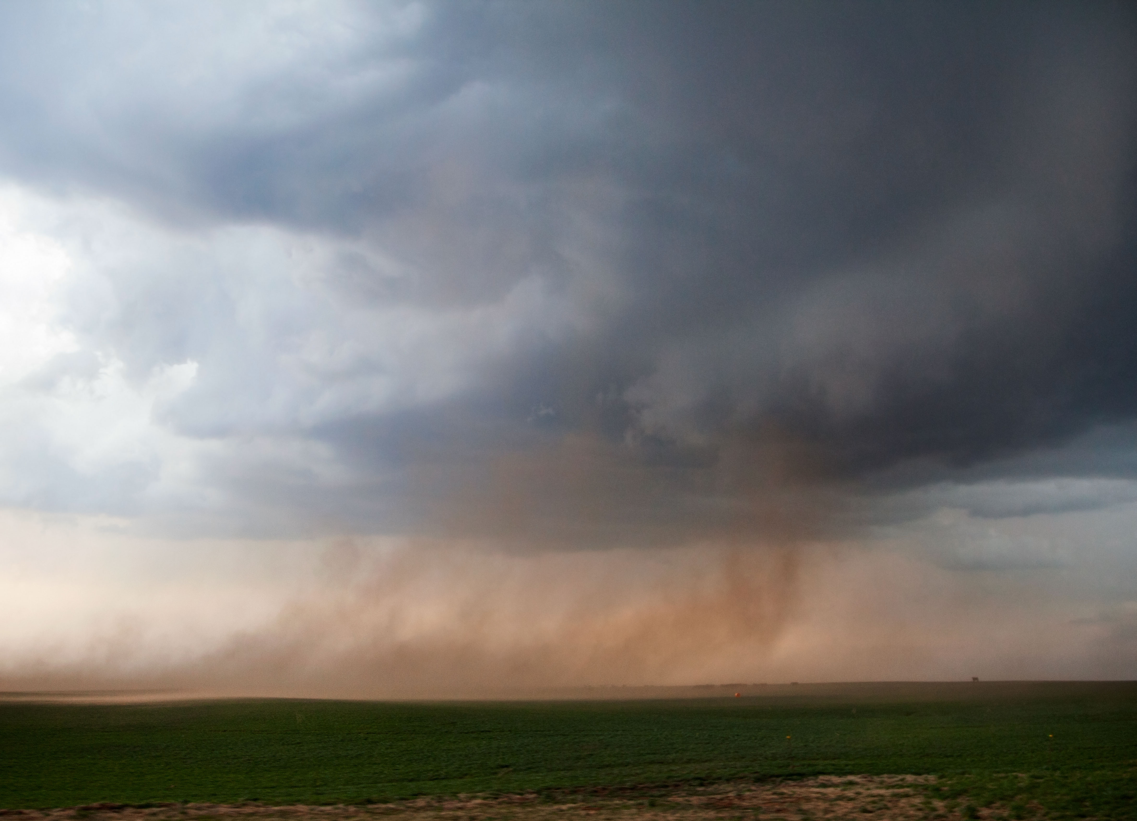
 It was pretty amazing getting to see my first gustnado, and we also purposely drove through one… which was intense and a lot of fun! Fortunately gustnadoes have been known to cause only minor damage at most, and so we knew we would be safe in our cars.
After the exciting gustnadoes, the sun went down, and the storms started weakening. We went to find a hotel and get ready for the next big day in Missouri.
This last day chasing in the midwest, April 3rd, promised storm storms and the highest probability of a tornado yet. We waited around like we did the two days prior, and eventually found a great storm to head toward.
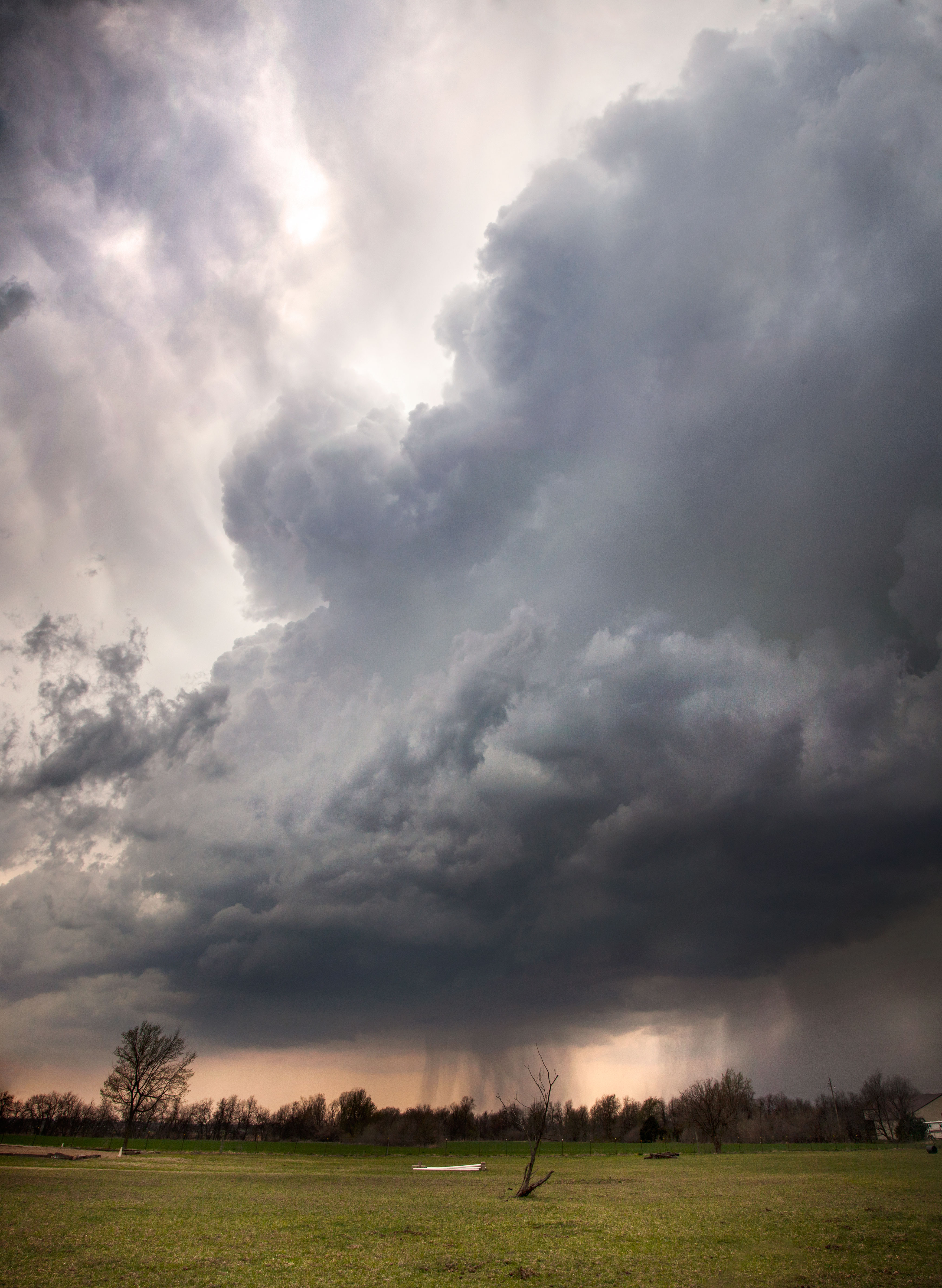 This was a very strong and explosive storm near Alba, MO, with reports of large hail and severe wind. We observed rotation on radar and darted for the right position. Once again, we were in perfect position if a tornado had dropped, and we watched a rotating wall cloud come across a field in front of us for about 15 minutes.
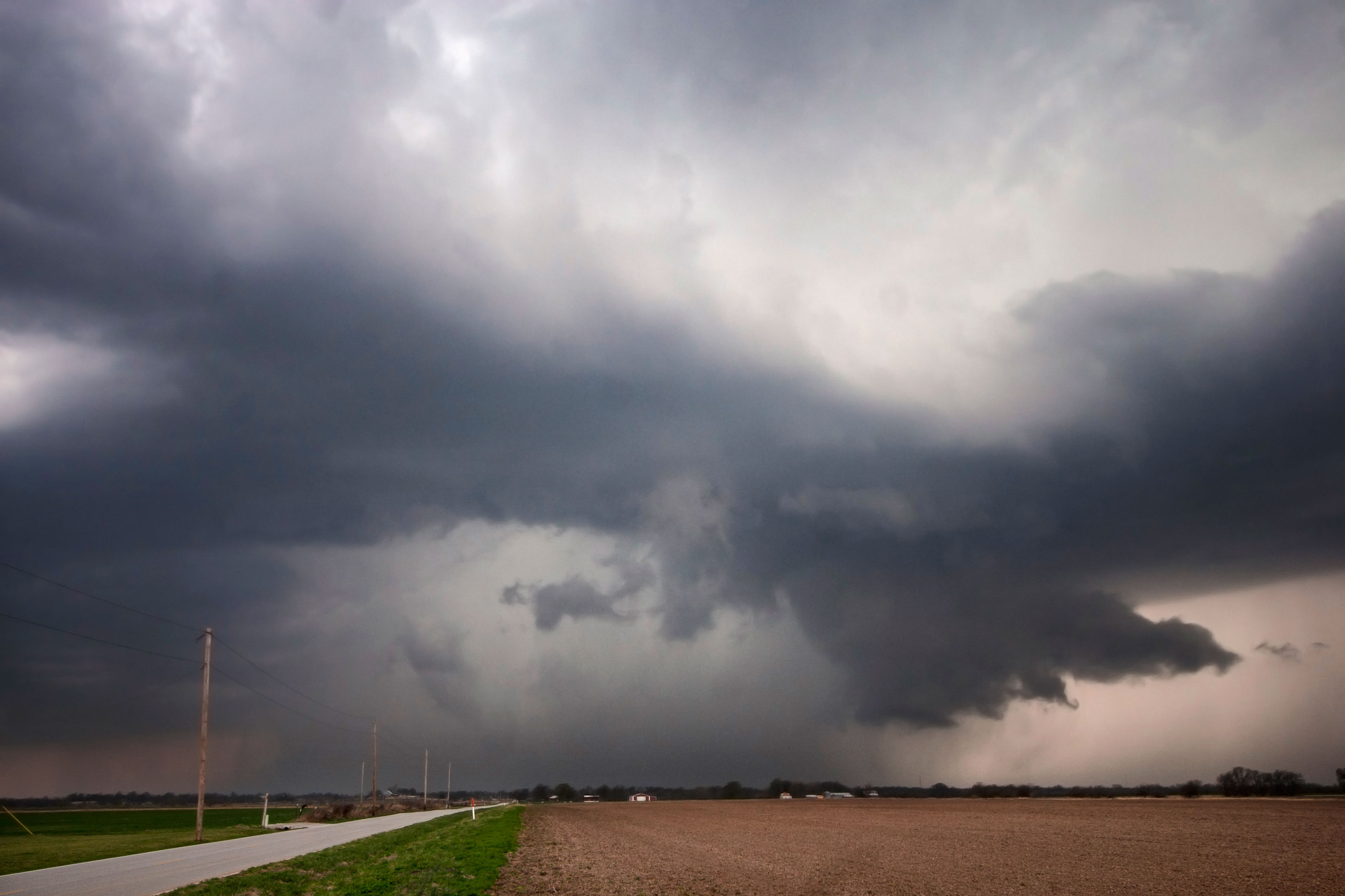 We followed this storm for a bit, but after this picture it started weakening.
Knowing we had to be back in Texas for work, we decided to call it a day after this storm drove south toward home with the possibility of catching some of the southern storms on the way.
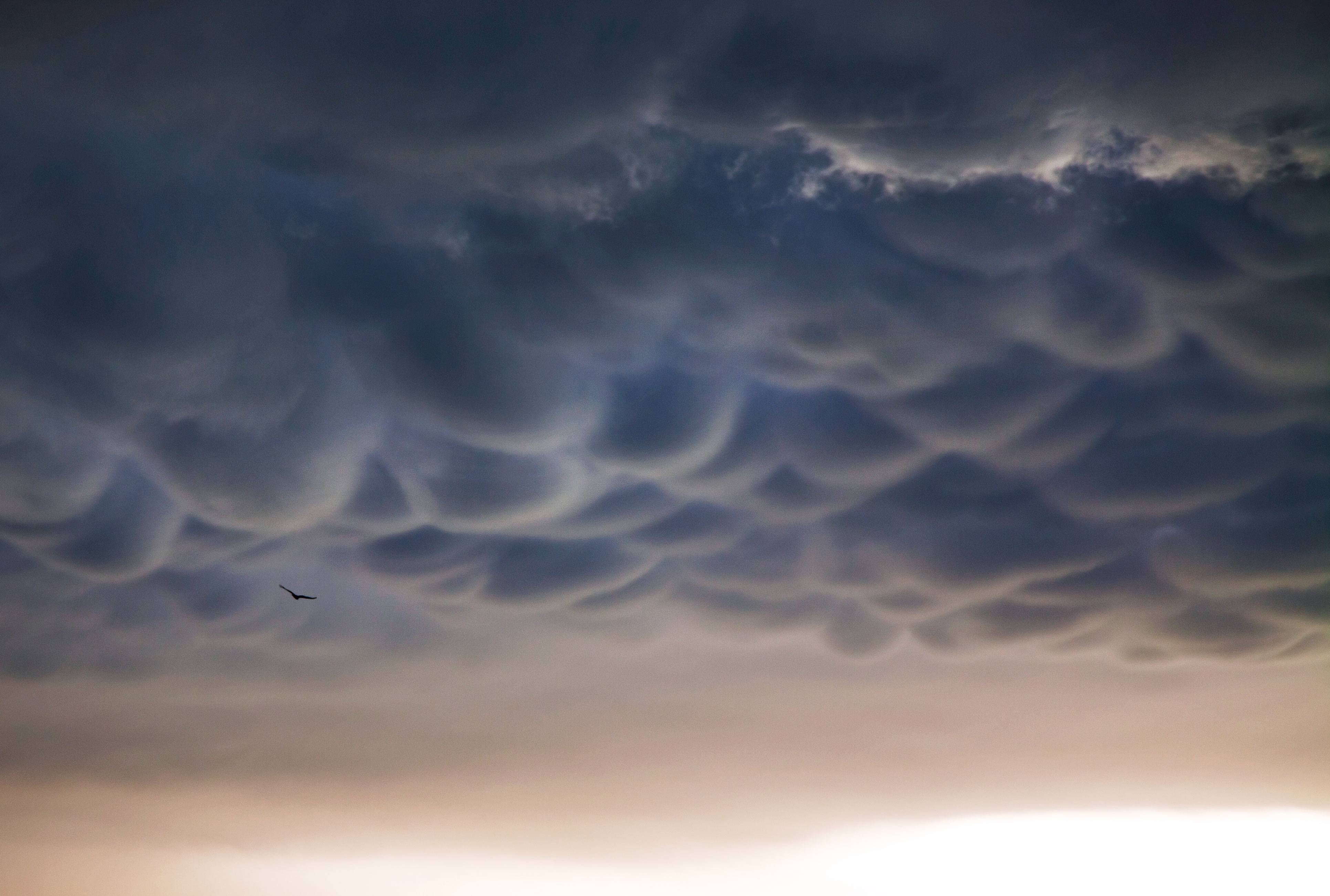
We stopped after seeing some beautiful mammatus under a storm anvil, and I photographed this hawk flying beneath the strange, awesome, bumpy clouds.
 After this we settled down and got ready for a long drive home the next morning.
Altogether, the storms didn’t produce like we were expecting, but for early April, it was some good chasing. The best of storm season is yet to arrive in the next 2 months, and so more chases to come!

Beautiful photos. I really admire people who chase storms like you and your friends do.
Thanks a lot Neihtn! I have never seen passion like I do in storm chasers. We think and dream of storms, and hopefully people will stay safer because of our help with the NWS. The season is just beginning…..!